Evenness measurements roads
According to the technical test specifications for evenness measurements on road surfaces of the FGSV (Road and Transportation Research Association), evenness is a user-relevant surface property of a road and is co-determinant for both the utility value and the asset value.
Specifically, the following factors can be derived from the evenness:
- the safety and comfort for the road user
- the noise pollution that occurs
- the risk of spray water
- the road condition in general
- the accounting value for the owner of the public easement
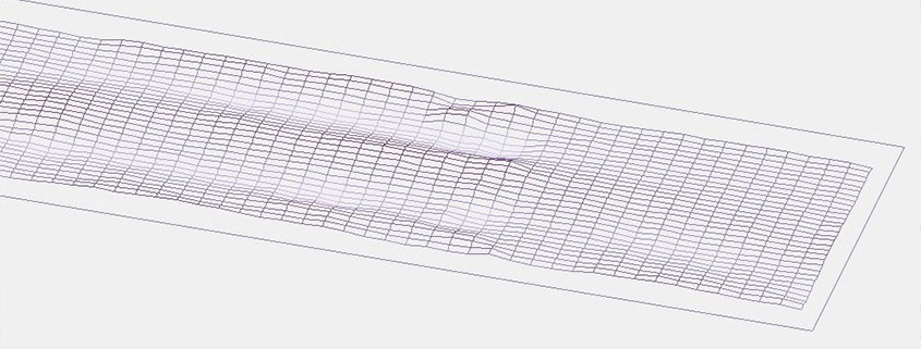
The evenness of roads is determined in the condition monitoring and assessment by determining the longitudinal evenness (sub-project 1a according to ZTV ZEB-StB) and transverse evenness (sub-project 1b according to ZTV ZEB-StB). This evenness can be determined by so-called “contact measurements”, e.g. by means of a straightedge, or by “non-contact measurements” with the aid of sensors on a measuring vehicle. Compared to contact measurement, non-contact measurement offers significant advantages.
For example:
- the data will be collected much faster and more accurately as well as objectively
- considerably longer wavelengths are detected in the longitudinal evenness (up to 50m are prescribed by the ZTV ZEB-StB)
- the measured values are recorded continuously and not only randomly
- due to the fast driving measuring vehicles, no cordoning off measures on the roads are necessary
Schniering GmbH carries out non-contact evenness measurements using laser distance sensors. Lasers are used which work according to the triangulation method and have a high accuracy with high clock rates and a corresponding measuring range at the same time.
Evenness in the longitudinal profile / longitudinal evenness
According to “TP Eben – Berührungslose Messungen “, longitudinal evenness measurements are to be carried out independent of speed according to the principle of multiple scanning with laser distance sensors. The distance sensors used must work according to the triangulation method.
For the measurement, four distance sensors are to be mounted on a rigid beam at a fixed distance.
Measuring principle evenness in longitudinal profile [Source: TP Eben – Berührungslose Messungen]
In order to be able to quantify the longitudinal evenness, amongst others the weighted longitudinal profile (WLP), the unevenness measure (AUN), the waviness (W), the longitudinal evenness index (LWI) or the International Roughness Index (IRI) are calculated from the recorded measured values in accordance with the applicable regulations of the FGSV. These key figures, together with the other variables determined, for example, from the transverse evenness or skid resistance measurement, are then included in the overall assessment of the road condition via a defined weighting.
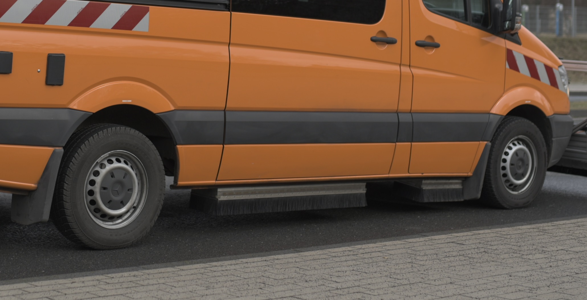
The multifunctional ARGUS® measuring systems or the ARGUS®-Profi , specially developed for longitudinal evenness measurements, are used to record the values for longitudinal evenness. These measuring systems allow a speed-independent, highly precise recording of the distance values with a high repeat accuracy. The data determined in this way form a reliable basis for the subsequent calculation of key figures, which enable transparent prioritisation of measures to improve longitudinal evenness.
Evenness in the transverse profile / transverse evenness
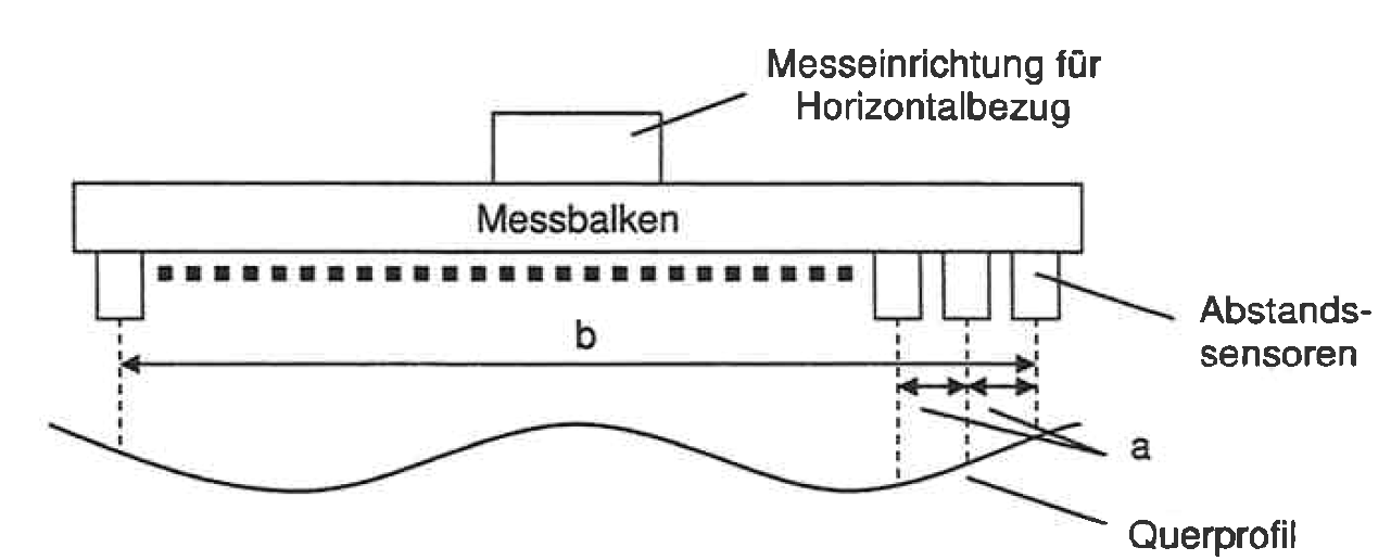
According to “TP Eben – Berührungslose Messungen “, transverse profiles transverse to the axis of the road are to be carried out by means of distance sensors, which cover a specified measurement width at a defined and uniform distance mounted on a rigid beam. The distance sensors used must operate according to the triangulation method.
Measuring principle evenness in the transverse profile [Source: TP Eben – Berührungslose Messungen]
In order to quantify the transverse evenness, amongst others the rut depth (SPT) and the fictitious water depth (SPH) are calculated from the recorded measured values in accordance with the FGSV regulations. For the calculation of the fictitious water depth, as a measure for the tendential danger of aquaplaning, the transverse inclination of the vehicle or the measuring beam is also recorded in order to take the water run-off into account. These key figures, together with the other variables determined, for example, from the longitudinal evenness or skid resistance measurement, are then included in the overall assessment of the road condition via a weighting defined in the regulations and contracts.
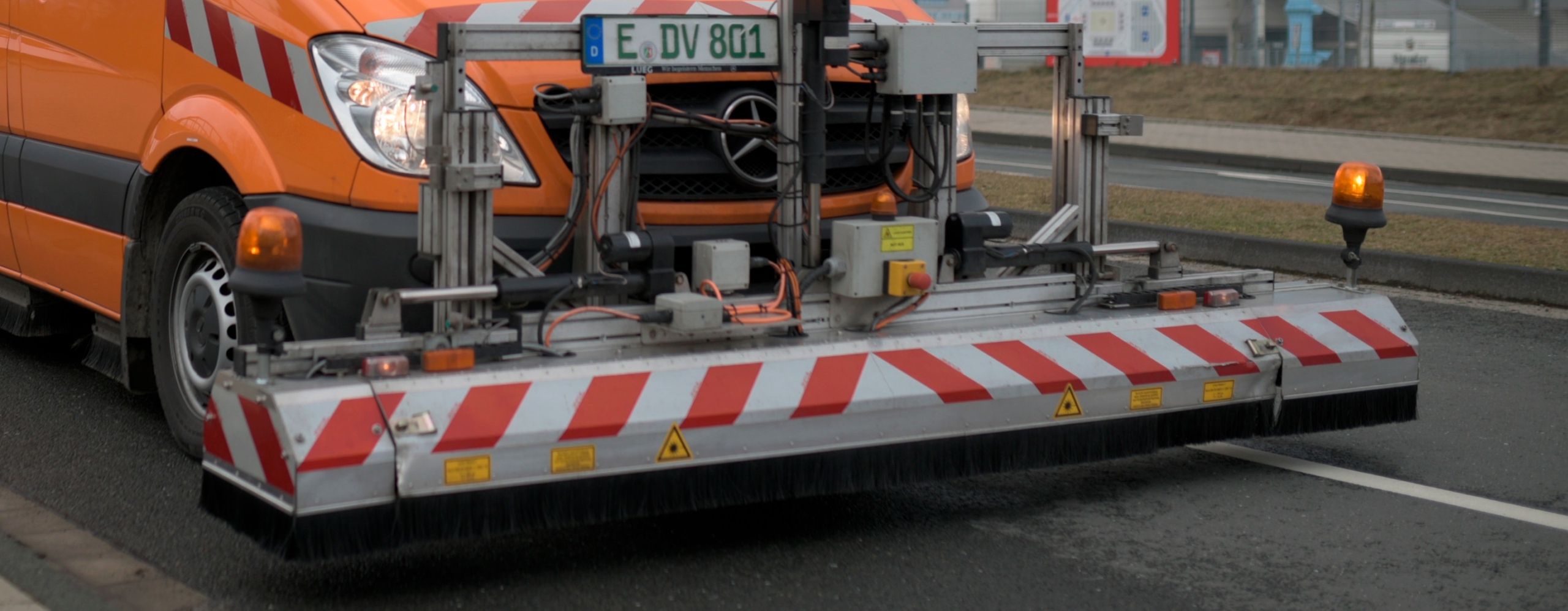
The multifunctional ARGUS® measuring systems are used to record the values for transverse evenness. These measuring systems allow a speed-independent, high-precision recording of the distance values with a high repeat accuracy. The data determined in this way then form a reliable basis for the subsequent calculation of key figures, which enable transparent prioritisation of measures to improve transverse evenness.


