Detection of surface damages
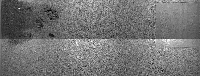
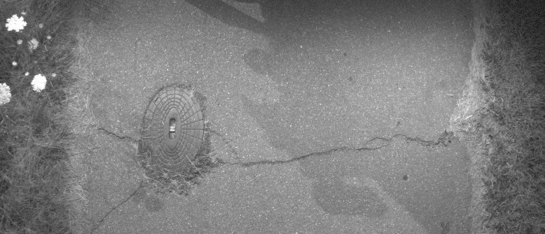
Surface damages are defined on the basis of so-called substance characteristics. Different substance characteristics are used for the construction methods asphalt, concrete or paving. Each characteristic is recorded using various condition indicators and subsequently evaluated. The recording is based on the evaluation of photographs of the road surface. In order to obtain a consistent quality of the images, which is as independent of weather conditions as possible, the surface is artificially illuminated during the recording process.
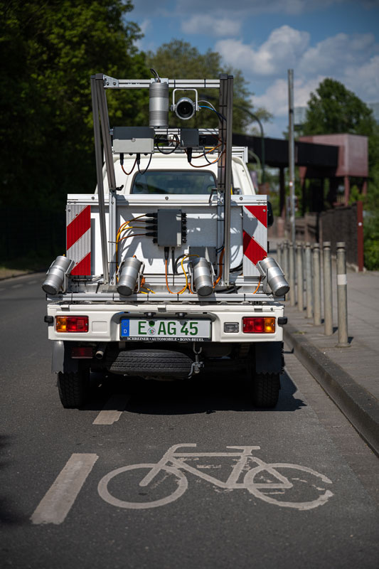
The ARGUS® measuring system is used to record surface damage (sub-project 3 according to ZTV ZEB-StB). For this purpose, the measurement vehicle is equipped with a camera aligned orthogonally to the road surface.
The camera is synchronised with high-power stroboscopic lamps for artificial illumination of the road surface and can record a road width of up to 4.5 m at up to 100 km/h with high resolution. The cameras and stroboscopes are controlled every metre, independent of speed. This ensures that the inspection is adapted to the traffic flow and can be carried out without obstructing the flowing traffic.
The ARGUS®-Agil measurement vehicle is used to record surface damages on cycle paths. This vehicle is also equipped with a surface camera and high-performance stroboscopes for artificial illumination of the road surface. The recording width is up to 2.6 m, and as with our ARGUS® measuring system, the surface images are recorded every metre regardless of speed.
Both the ARGUS® and the ARGUS®-Agil measurement system provide a complete video recording of the roadway / cycle path surface for the reliable detection and documentation of condition indicators, such as cracks from a width of ≥ 0.5 mm. Artificial lighting of the road surface in combination with an extremely short exposure time of 1/50,000 s allows us to deliver video recordings in excellent quality and without motion blur.
Following the recording, an efficient and computer-aided evaluation of the images for the indicators defined for the respective construction method is carried out based on these surface images in combination with the roadway images. Depending on the country-specific requirements, the evaluations are carried out by us in accordance with the following standards and regulations:
- ZTV ZEB-StB and corresponding regulations (German standard)
- SN 640 925b and corresponding regulations (Swiss standard)
- SN 640 925b and corresponding regulations (Swiss standard)
The substance characteristics for the surface determined in this way, together with the other substance characteristics such as evenness, represent an important basis for effective maintenance planning of a road network.
In order to localise the determined substance features and to be able to reference the data to a country-specific road classification system such as a
- node edge model
- Spatial base reference system (RBBS)
- PR + Abscissa system
, a high-precision GNS satellite navigation is carried out during the measurement run in connection with a measurement path length recording by the ARGUS® measurement system. The resulting position data are linked with the recorded image and measurement data and thus enable the data and image material to be located in the sub-centimetre range. Reference points (e.g. network nodes) manually registered by the operator during the measurement run can also support a comparison between reality and the digital model.


